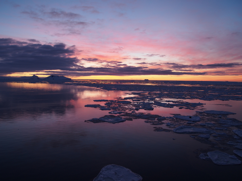
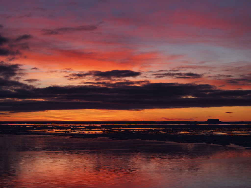
Okay, you’re going to have to forgive me on this – I’m just kind of speechless here. No fancy commentary or anything, just some photos of what it looked like yesterday morning when the sun came up over King George Bay. I promise: these aren’t Photoshop or Picasa “I’m Feeling Lucky” enhanced. No pumped up colors. Not even cropped; this is really what it looked like straight out of the camera.
The caldera on the left is Penguin Island
We’ll see more of that iceberg on the right when the sun is up
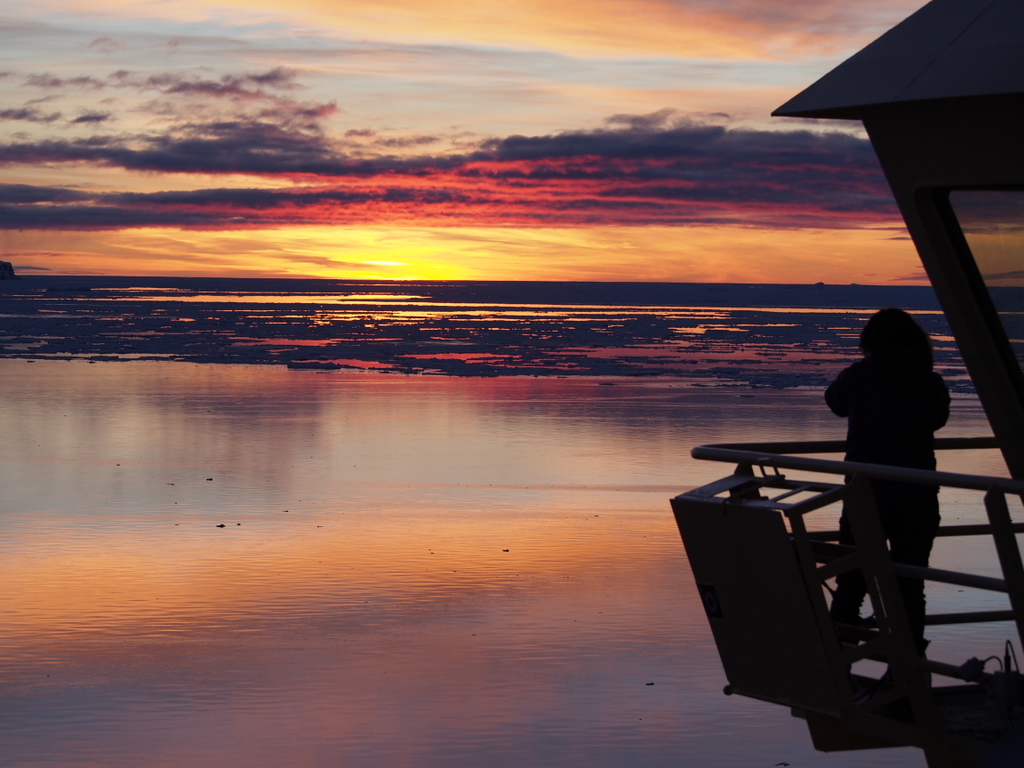
Carla is with me on the deck aft of the bridge – she’s a much better photographer; I want to see her pics
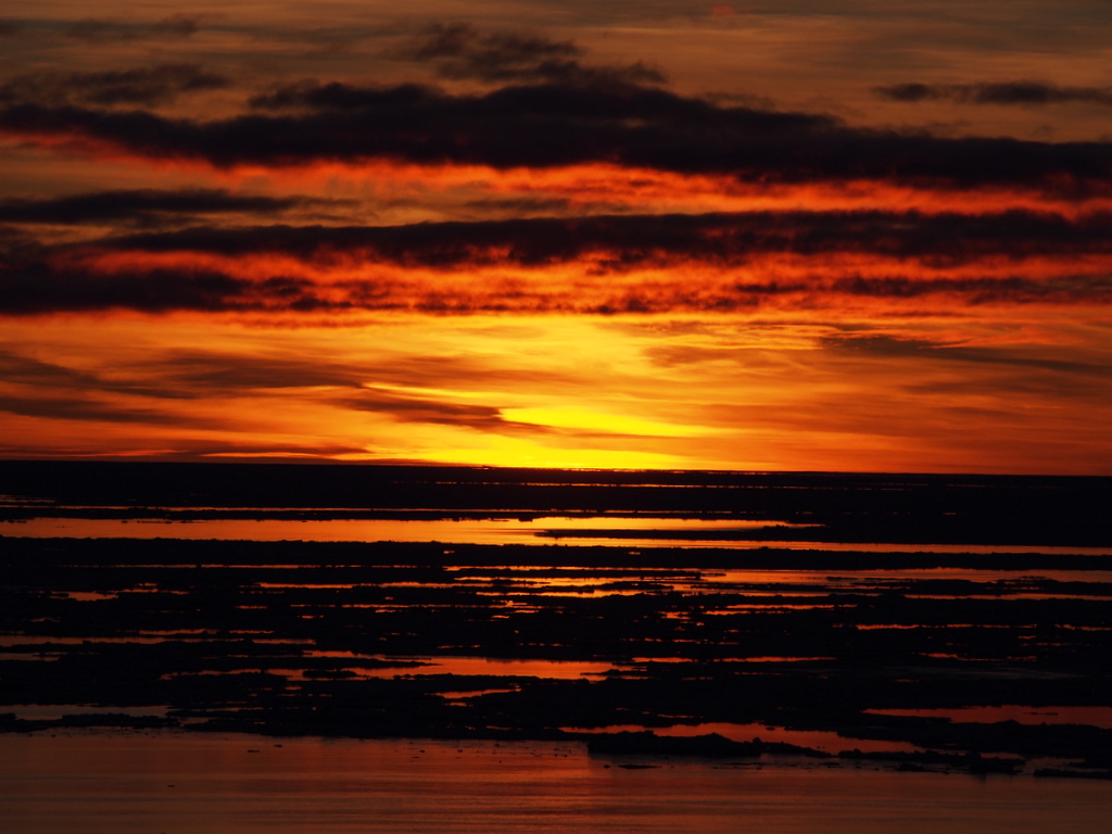
Sunrise, through the telephoto

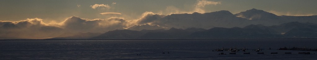
The western side of King George Bay, behind us

A lone iceberg – a small one

A big iceberg on the horizon. That thin line is probably 10 miles across. Goes up 150 or so feet, and probably 800 down.
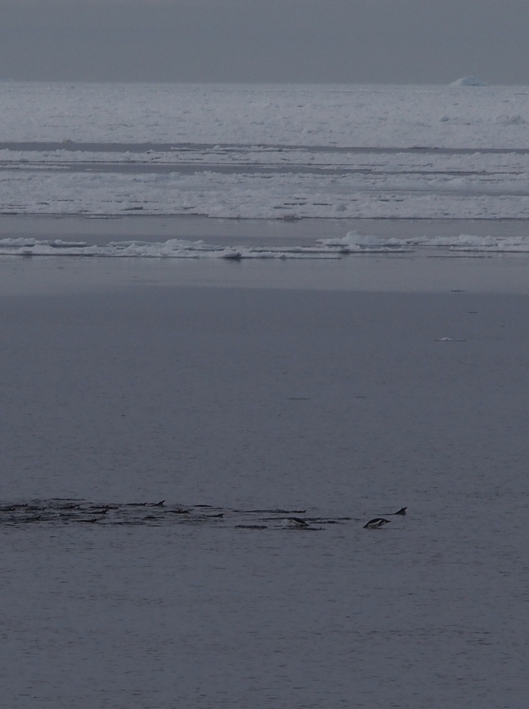
Penguins! A flock of Gentoo in search of breakfast

You remember how I wrote yesterday about the geographic features of King George Bay? How the Admiralty Guide referred to The Pinnacles, and the “distinctively shaped” Lion’s Rump at the head of the bay? Well, here they are.
Anyhow. Calibration went well, and we’re back on the north side of the island, running the grid along the edge of the Drake and doing bottom trawls. If I manage to get up early enough tomorrow, I’ll post about that.

Fantastic!!!!!
Sent from my iPad
>
LikeLike